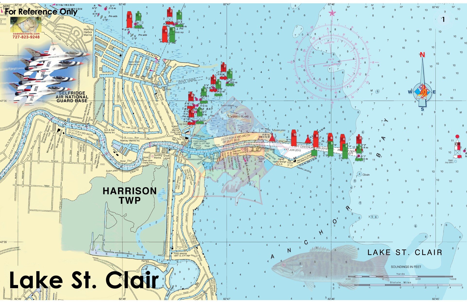
Lake St Clair
ID: #791281
Description
Lake St. Clair is located between Michigan and Ontario, Canada. The first page includes an overview of Harrison township moving onward to cover Lake St. Clair and Lake Huron. From Port Huron and the St. Clair River down through Detroit, you’ll find easy-to-read detail for fishing hotspots, boating routes, and local points of interest. Waterfront restaurants and marinas are clearly marked. The chart measures 17″ x 11″ closed and 34″ x 11″ open. Full UV lamination at 10 mil. “Write-On Wipe-Off! Time after Time” with a Sharpie marker and alcohol. Used by Coast Guard and coast Guard Auxiliaries, Marinas, Boat Rentals, Boat Clubs, County Sheriffs, Insurance companies, Real Estate and more! Easiest Boating Chart You Will Ever Use
Price
$26.00
Last Updated
10 August 2026, 10:16 UTC
Store Information
physical store
Location
More from Coastal Charts & Maps
View all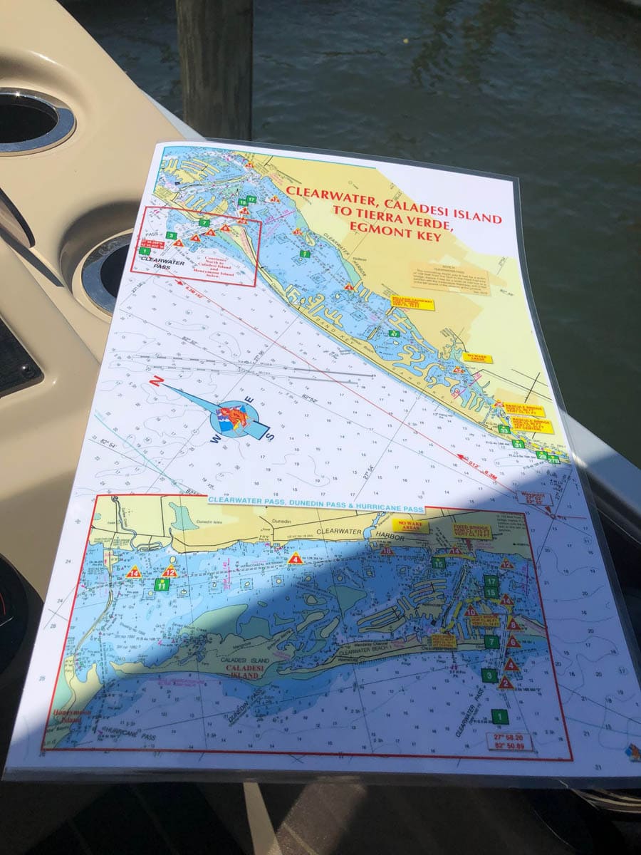
Clearwater, Caladesi Island to Tierra Verde, Egmont Key Nautical Chart
$26.00
Clearwater, Florida north to Dunedin, Florida and Caladesi Island and south to Shell Island and Egmont Key. Waypoints are included along with approximate mileage from pass to pass. Bridge horizontal and vertical clearances as well as no wake areas. Enlarged navigation markers along with photographic visuals. The chart measures 11″ x 17″ closed and 22″ x 17″ open. Full lamination at 10 mil. “Write-On Wipe-Off! Time after Time” with a Sharpie marker and alcohol. Used by Coast Guard and Coast Guard Auxilliaries, Marinas, Boat Rentals, Boat Clubs, County Sheriffs, Insurance companies, Real Estate and more! Easiest Boating Chart You Will Ever Use
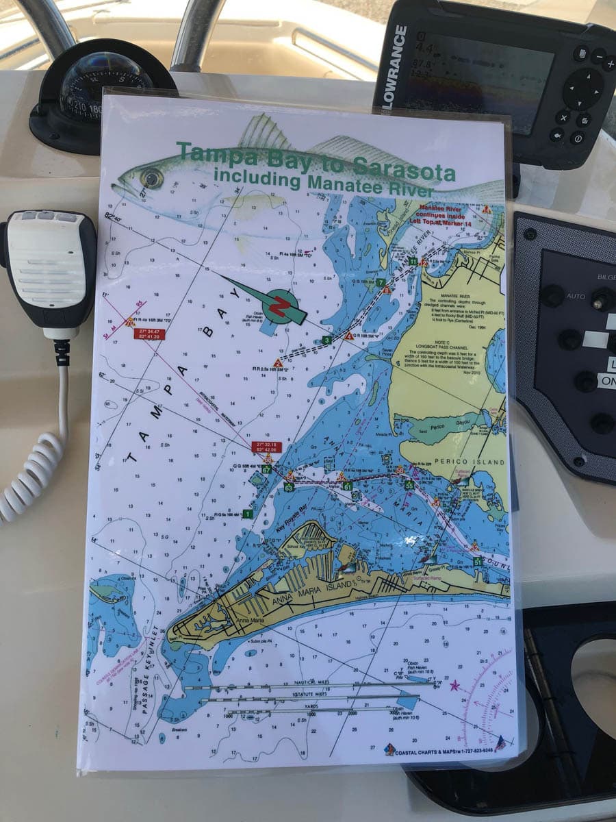
Tampa Bay to Sarasota including the Manatee River Nautical Chart
$26.00
Enlarged chart from Tampa Bay to Sarasota, Florida including the Manatee River, Anna Maria Island, Longboat Key. Navigating Longboat Pass, New Pass and Sarasota Pass is much easier with this large format boating chart. Enlarged navigation markers along with photographic visuals. The chart measures 11″ x 17″ closed and 22″ x 17″ open. Full uv lamination at 10 mil. “Write-On Wipe-Off! Time after Time” with a Sharpie marker and alcohol. Used by Coast Guard and Coast Guard Auxilliaries, Marinas, Boat Rentals, Boat Clubs, County Sheriffs, Insurance companies, Real Estate and more! Easiest Boating Chart You Will Ever use
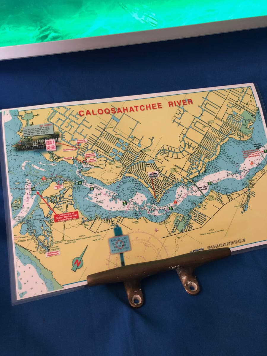
Caloosahatchee River and Pine Island Sound Nautical Chart
$26.00
This chart covers the area of Fort Myers, and Cape Coral, Florida along the Caloosahatchee River with Pine Island Sound on the inside double page of this chart. Highlights include local area restaurants, the State Park on Cayo Costa, Cabbage Key, Pine Island, North Captiva and Sanibel. Enlarged navigation markers along with photographic visuals. The chart measures 17″ x 11″ closed and 17″ x 22″ open. Full uv lamination at 10 mil. “Write-On Wipe-Off! Time after Time” with a Sharpie marker and alcohol. Used by Coast Guard and Coast Guard Auxilliaries, Marinas, Boat Rentals, Boat Clubs, County Sheriffs, Insurance companies, Real Estate and more! Easiest Boating Chart You Will Ever use.
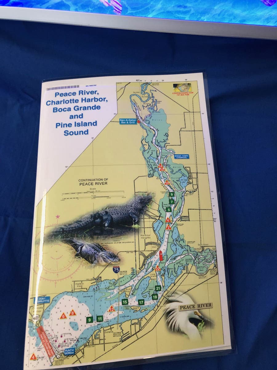
Peace River, Charlotte Harbor and Pine Island Sound Nautical Charts
$26.00
Peace River is on the Front Cover. The double page inside shows all of Charlotte Harbor and Pine Island Sound to Sanibel Island, Florida on the back page. Local area places of interest include Boca Grande, Cabbage Key, Cayo Costa, Tarpon Lodge and Four Winds Marina on Pine Island. Fisherman’s Village in Punta Gorda, Jensen’s historic marina on Captiva and famous Gramma Dot’s Restaurant on Sanibel Island. Enlarged navigation markers along with photographic visuals. The chart measures 11″ x 17″” closed and 22″ x 17″ open. Full uv lamination at 10 mil. “Write-On Wipe-Off! Time after Time” with a Sharpie marker and alcohol. Used by Coast Guard and Coast Guard Auxilliaries, Marinas, Boat Rentals, Boat Clubs, County Sheriffs, Insurance companies, Real Estate and more! Easiest Boating Chart You Will Ever use
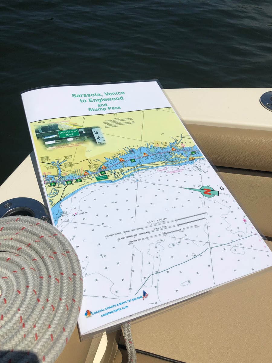
Sarasota, Venice to Englewood and Stump Pass Nautical Charts
$26.00
Little Sarasota Bay south to Venice and Englewood along the intracoastal waterways to Stump Pass. Stump Pass is beautiful and very scenic and a great anchoring spot for boats of all sizes. Enlarged navigation markers along with photographic visuals. The chart measures 11″ x 17″ closed and 22″ x 17″ open. Full uv lamination at 10 mil. “Write-On Wipe-Off! Time after Time” with a Sharpie marker and alcohol. Used by Coast Guard and Coast Guard Auxilliaries, Marinas, Boat Rentals, Boat Clubs, County Sheriffs, Insurance companies, Real Estate and more! Easiest Boating Chart You Will Ever use
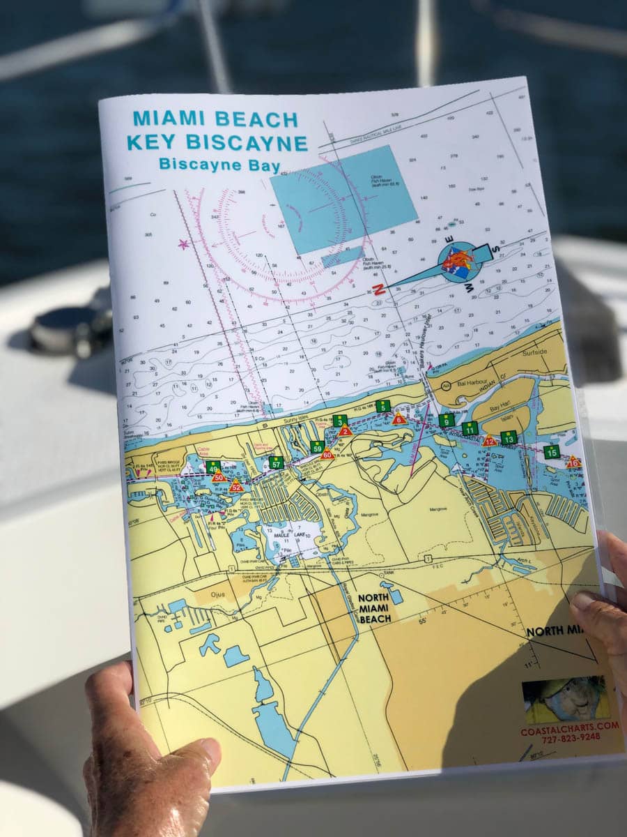
Miami Beach, Key Biscayne and Biscayne Bay Nautical Charts
$26.00
North Miami Beach to Key Biscayne and Coconut Grove. Port of Miami and the ship channel. One mile south of Cape Florida Channel is Stiltsville, wooden stilt houses on sand banks. Enlarged navigation markers along with photographic visuals. The chart measures 11″ x 17″ closed and 22″ x 17″ open. Full uv lamination at 10 mil. “Write-On Wipe-Off! Time after Time” with a Sharpie marker and alcohol. Used by Coast Guard and coast Guard Auxilliaries, Marinas, Boat Rentals, Boat Clubs, County Sheriffs, Insurance companies, Real Estate and more! Easiest Boating Chart You Will Ever Use